 vesseltracker.com
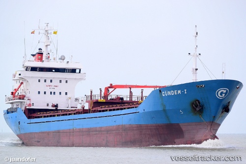
Kalkandere
Current StatusWhere is the vessel?
Kalkandere is currently in Near Kemerkoy, based on AIS data received about 2h ago.
Latest AIS update:
Current position: 41.24497° N, 40.72721° E (Near Kemerkoy)
Average speed (last 7 days): Loading…
Average speed (last 30 days): Loading…
Vessel profile: Kalkandere is a General Cargo Ship with dimensions 14m x 94m.
This page combines live AIS, route history, probable destination signals, nearby traffic, and port activity for practical vessel monitoring.
The current position of vessel Kalkandere is 41.24497 lat / 40.72721 lng. Updated: 2026-04-03 01:31:13 UTCNearest reference points:
- Near Rize
- 31 nm N of Pazar
- Near Hopa
Details:
Live Vessel Kalkandere Analytics (details, animations, etc.)
Recent AIS points (UTC):
2026-04-02 22:17:49 UTC · 41.13676, 40.02497 · SOG 10.2 kn · COG 93°2026-04-03 00:14:53 UTC · 41.16286, 40.45296 · SOG 10.2 kn · COG 66°
2026-04-03 01:31:13 UTC · 41.24497, 40.72721 · SOG 10.6 kn · COG 68°
2026-04-03 01:31:13 UTC · 41.24497, 40.72721 · SOG 10.6 kn · COG 68°