 vesseltracker.com
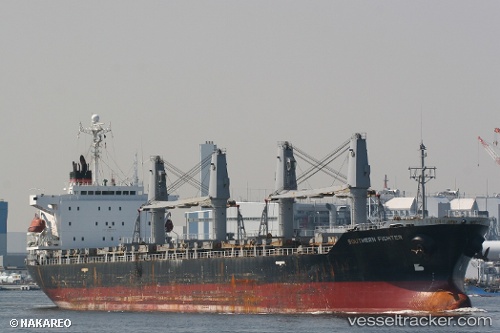
 BLUE BEAD
Current Status
Where is the vessel?
BLUE BEAD is currently in 41 nm NE of Akhtopol, based on AIS data received about 2h ago.
Latest AIS update:
Current position: 42.53482° N, 28.67244° E (41 nm NE of Akhtopol)
Average speed (last 7 days): Loading…
Average speed (last 30 days): Loading…
Vessel profile: BLUE BEAD is a Bulk Carrier with dimensions m x m.
This page combines live AIS, route history, probable destination signals, nearby traffic, and port activity for practical vessel monitoring.
The current position of vessel BLUE BEAD is 42.53482 lat / 28.67244 lng. Updated: 2026-05-17 23:23:14 UTCNearest reference points:
- 20 nm SE of Varna
- 38 nm E of IGNEADA
- 54 nm SE of Sveti Nikola
Currently sailing under the flag of San Marino ![]()
Details:
Live Vessel BLUE BEAD Analytics (details, animations, etc.)
Recent AIS points (UTC):
2026-05-17 19:33:15 UTC · 43.11748, 28.17756 · SOG 10.9 kn · COG 112°2026-05-17 21:55:34 UTC · 42.79452, 28.53655 · SOG 11.4 kn · COG 159°
2026-05-17 23:06:55 UTC · 42.58297, 28.64873 · SOG 11.1 kn · COG 161°
2026-05-17 23:23:14 UTC · 42.53482, 28.67244 · SOG 11.3 kn · COG 160°