 vesseltracker.com
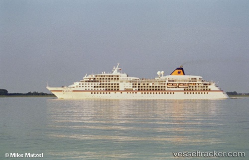
 EUROPA
Current Status
Where is the vessel?
EUROPA is currently in 13 nm SE of Arma di Taggia, based on AIS data received less than 1h ago.
Latest AIS update:
Current position: 43.62860° N, 7.98202° E (13 nm SE of Arma di Taggia)
Average speed (last 7 days): Loading…
Average speed (last 30 days): Loading…
Vessel profile: EUROPA is a Passenger (Cruise) Ship with dimensions 199m x 26m.
This page combines live AIS, route history, probable destination signals, nearby traffic, and port activity for practical vessel monitoring.
The current position of vessel EUROPA is 43.6286 lat / 7.98202 lng. Updated: 2026-05-14 22:35:35 UTCNearest reference points:
- Near Riva Ligure
- Near Arma di Taggia
- Near SANREMO
Currently sailing under the flag of Malta ![]()
EUROPA built in 1999 year
Deadweight:
2557 tDetails:
Live Vessel EUROPA Analytics (details, animations, etc.)
Recent AIS points (UTC):
2026-05-14 19:41:11 UTC · 43.73620, 7.43127 · SOG 0 kn · COG 40°2026-05-14 20:02:11 UTC · 43.73630, 7.43127 · SOG 0 kn · COG 40°
2026-05-14 22:00:41 UTC · 43.67260, 7.76832 · SOG 17.1 kn · COG 103°
2026-05-14 22:35:35 UTC · 43.62860, 7.98202 · SOG 16.5 kn · COG 105°