 vesseltracker.com
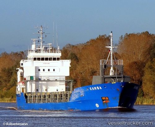
 Ta Hwa
Current Status
Where is the vessel?
Ta Hwa is currently in Near Taboguilla, based on AIS data received about 1h ago.
Latest AIS update:
Current position: 8.68229° N, 79.45293° W (Near Taboguilla)
Average speed (last 7 days): Loading…
Average speed (last 30 days): Loading…
Vessel profile: Ta Hwa is a Multi Purpose Carrier with dimensions 99m x 14m.
This page combines live AIS, route history, probable destination signals, nearby traffic, and port activity for practical vessel monitoring.
The current position of vessel Ta Hwa is 8.68229 lat / -79.45293 lng. Updated: 2026-04-28 08:01:18 UTCNearest reference points:
- Near Panama
- Near Melones
- Near El Chorrillo
Currently sailing under the flag of Taiwan ![]()
Ta Hwa built in 2000 year
Deadweight:
4555 tDetails:
Live Vessel Ta Hwa Analytics (details, animations, etc.)
Recent AIS points (UTC):
2026-04-28 04:07:34 UTC · 9.01659, -79.61267 · SOG 0 kn · COG -1°2026-04-28 05:39:34 UTC · 8.99527, -79.59067 · SOG 0 kn · COG -1°
2026-04-28 07:26:55 UTC · 8.76552, -79.46234 · SOG 10.3 kn · COG -1°
2026-04-28 08:01:18 UTC · 8.68229, -79.45293 · SOG 8.2 kn · COG -1°