 vesseltracker.com
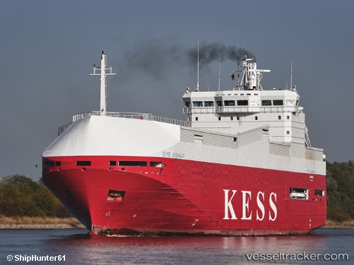
 Ems Highway
Current Status
Where is the vessel?
Ems Highway is currently in Near Sheerness, based on AIS data received about 1h ago.
Latest AIS update:
Current position: 51.43758° N, 0.73919° E (Near Sheerness)
Average speed (last 7 days): Loading…
Average speed (last 30 days): Loading…
Vessel profile: Ems Highway is a Vehicles Carrier with dimensions 100m x 100m.
This page combines live AIS, route history, probable destination signals, nearby traffic, and port activity for practical vessel monitoring.
The current position of vessel Ems Highway is 51.43758 lat / 0.73919 lng. Updated: 2026-03-26 07:23:52 UTCNearest reference points:
- Near GILLINGHAM
- Near BURNHAM ON CROUCH
- Near HEYBRIDGE
Currently sailing under the flag of Cyprus ![]()
Ems Highway built in 1999 year
Deadweight:
3414 tDetails:
Live Vessel Ems Highway Analytics (details, animations, etc.)
Recent AIS points (UTC):
2026-03-26 01:38:50 UTC · 51.43758, 0.73919 · SOG 0 kn · COG 25°2026-03-26 04:02:51 UTC · 51.43758, 0.73918 · SOG 0 kn · COG 25°
2026-03-26 06:20:51 UTC · 51.43758, 0.73919 · SOG 0 kn · COG 25°
2026-03-26 07:23:52 UTC · 51.43758, 0.73919 · SOG 0 kn · COG 25°