 vesseltracker.com
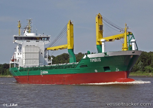
 Timbus
Current Status
Where is the vessel?
Timbus is currently in 28 nm NW of de Ruyter, based on AIS data received less than 1h ago.
Latest AIS update:
Current position: 52.68532° N, 3.63022° E (28 nm NW of de Ruyter)
Average speed (last 7 days): Loading…
Average speed (last 30 days): Loading…
Vessel profile: Timbus is a Multi Purpose Carrier with dimensions 100m x 17m.
This page combines live AIS, route history, probable destination signals, nearby traffic, and port activity for practical vessel monitoring.
The current position of vessel Timbus is 52.68532 lat / 3.63022 lng. Updated: 2026-05-14 08:24:00 UTCNearest reference points:
- 23 nm N of de Ruyter
- 22 nm W of Schoorl
- Near de Ruyter
Currently sailing under the flag of Germany ![]()
Timbus built in 1999 year
Deadweight:
6389 tDetails:
Live Vessel Timbus Analytics (details, animations, etc.)
Recent AIS points (UTC):
2026-05-14 04:34:46 UTC · 53.25567, 4.45484 · SOG 11 kn · COG 208°2026-05-14 05:45:47 UTC · 53.08080, 4.21949 · SOG 12.1 kn · COG 227°
2026-05-14 07:59:59 UTC · 52.74978, 3.71780 · SOG 12.6 kn · COG 220°
2026-05-14 08:24:00 UTC · 52.68532, 3.63022 · SOG 12.5 kn · COG 220°