 vesseltracker.com
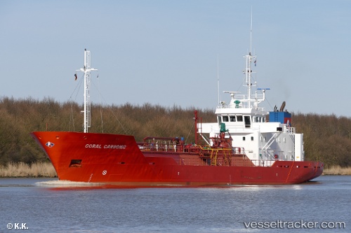
 HELLE
HELLE
Current Status
Where is the vessel?
HELLE is currently in 34 nm NW of PENICHE, based on AIS data received about 1h ago.
Latest AIS update:
Current position: 39.75500° N, 9.90167° W (34 nm NW of PENICHE)
Average speed (last 7 days): Loading…
Average speed (last 30 days): Loading…
Vessel profile: HELLE is a CO2 Tanker with dimensions 80m x 14m.
This page combines live AIS, route history, probable destination signals, nearby traffic, and port activity for practical vessel monitoring.
The current position of vessel HELLE is 39.75500 lat / -9.90167 lng. Updated: 2026-05-16 07:45:04 UTCNearest reference points:
- Near PENICHE
- Near Nazaré
- 52 nm W of Canas de Santa Maria
Currently sailing under the flag of Norway (NIS) ![]()
HELLE built in 1999 year
Deadweight:
1786 tDetails:
Live Vessel HELLE Analytics (details, animations, etc.)
Recent AIS points (UTC):
2026-05-16 04:21:03 UTC · 39.41167, -9.92167 · SOG 5 kn · COG -1°2026-05-16 05:15:03 UTC · 39.49500, -9.92167 · SOG 5 kn · COG -1°
2026-05-16 07:18:14 UTC · 39.70581, -9.90757 · SOG 12.3 kn · COG 5°
2026-05-16 07:45:04 UTC · 39.75500, -9.90167 · SOG 6 kn · COG -1°