 vesseltracker.com
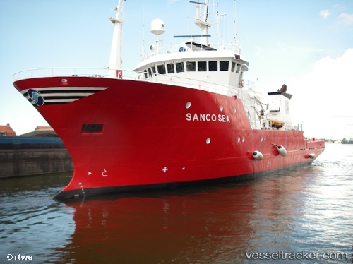
 GEO OCEAN VIII
Current Status
Where is the vessel?
GEO OCEAN VIII is currently in Near EEMSHAVEN, based on AIS data received about 1h ago.
Latest AIS update:
Current position: 53.45473° N, 6.83393° E (Near EEMSHAVEN)
Average speed (last 7 days): Loading…
Average speed (last 30 days): Loading…
Vessel profile: GEO OCEAN VIII is a Research/Survey Vessel with dimensions m x m.
This page combines live AIS, route history, probable destination signals, nearby traffic, and port activity for practical vessel monitoring.
The current position of vessel GEO OCEAN VIII is 53.45473 lat / 6.83393 lng. Updated: 2026-05-13 11:57:47 UTCNearest reference points:
- Near Borkum
- Near APPINGEDAM
- Near Kolham
Details:
Live Vessel GEO OCEAN VIII Analytics (details, animations, etc.)
Recent AIS points (UTC):
2026-05-13 05:42:18 UTC · 53.45475, 6.83386 · SOG 0 kn · COG 104°2026-05-13 09:48:50 UTC · 53.45473, 6.83385 · SOG 0 kn · COG 104°
2026-05-13 10:51:44 UTC · 53.45469, 6.83386 · SOG 0 kn · COG 104°
2026-05-13 11:57:47 UTC · 53.45473, 6.83393 · SOG 0 kn · COG 104°