 vesseltracker.com
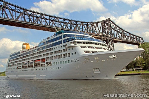
 AZAMARA PURSUIT
Current Status
Where is the vessel?
AZAMARA PURSUIT is currently in 121 nm NW of Tanaga Bay, based on AIS data received less than 1h ago.
Latest AIS update:
Current position: 53.39170° N, 179.90433° W (121 nm NW of Tanaga Bay)
Average speed (last 7 days): Loading…
Average speed (last 30 days): Loading…
Vessel profile: AZAMARA PURSUIT is a Passengers Ship with dimensions m x m.
This page combines live AIS, route history, probable destination signals, nearby traffic, and port activity for practical vessel monitoring.
The current position of vessel AZAMARA PURSUIT is 53.39170 lat / -179.90433 lng. Updated: 2026-05-16 12:18:45 UTCCurrently sailing under the flag of Marshall Islands ![]()
Details:
Live Vessel AZAMARA PURSUIT Analytics (details, animations, etc.)
Recent AIS points (UTC):
2026-05-16 09:40:58 UTC · 53.24269, 179.06651 · SOG 13.9 kn · COG 76°2026-05-16 10:23:46 UTC · 53.28500, 179.34167 · SOG 13 kn · COG -1°
2026-05-16 11:40:15 UTC · 53.35934, 179.83672 · SOG 14.5 kn · COG 78°
2026-05-16 12:18:45 UTC · 53.39170, -179.90433 · SOG 15.6 kn · COG 78°