 vesseltracker.com
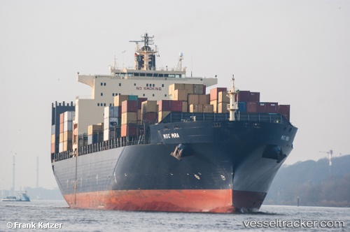
 GSL MYNY
Current Status
Where is the vessel?
GSL MYNY is currently in 75 nm S of Dokdo, based on AIS data received about 1h ago.
Latest AIS update:
Current position: 36.04434° N, 131.36626° E (75 nm S of Dokdo)
Average speed (last 7 days): Loading…
Average speed (last 30 days): Loading…
Vessel profile: GSL MYNY is a Container Ship with dimensions 40m x 277m.
This page combines live AIS, route history, probable destination signals, nearby traffic, and port activity for practical vessel monitoring.
The current position of vessel GSL MYNY is 36.04434 lat / 131.36626 lng. Updated: 2026-05-14 07:41:37 UTCNearest reference points:
- 67 nm W of NAKANOSHIMA
- 63 nm NW of Unnan
- 39 nm N of Iwami
Currently sailing under the flag of Liberia ![]()
GSL MYNY built in 2000 year
Deadweight:
67564 tDetails:
Live Vessel GSL MYNY Analytics (details, animations, etc.)
Recent AIS points (UTC):
2026-05-14 04:10:49 UTC · 35.34952, 130.26224 · SOG 18.7 kn · COG 52°2026-05-14 05:04:14 UTC · 35.51849, 130.53627 · SOG 19.1 kn · COG 51°
2026-05-14 07:36:19 UTC · 36.02573, 131.33691 · SOG 20.4 kn · COG 52°
2026-05-14 07:41:37 UTC · 36.04434, 131.36626 · SOG 20.4 kn · COG 52°