 vesseltracker.com
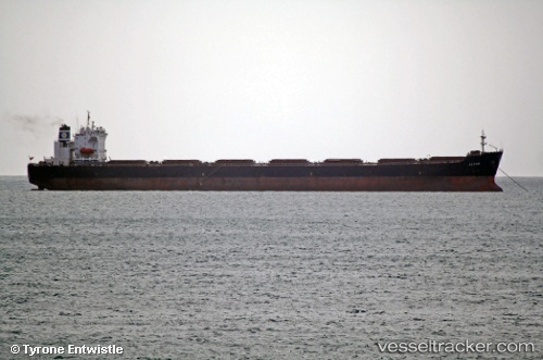
 SEAPOWER I
Current Status
Where is the vessel?
SEAPOWER I is currently in Near Nansha, based on AIS data received about 4d ago.
Latest AIS update:
Current position: 22.69130° N, 113.66000° E (Near Nansha)
Average speed (last 7 days): Loading…
Average speed (last 30 days): Loading…
Vessel profile: SEAPOWER I is a Bulk Carrier with dimensions 225m x 32m.
This page combines live AIS, route history, probable destination signals, nearby traffic, and port activity for practical vessel monitoring.
The current position of vessel SEAPOWER I is 22.6913 lat / 113.66 lng. Updated: 2026-05-11 02:18:14 UTCNearest reference points:
- Near Nansha
- Near Nansha Pt
- Near Humen Pt
Currently sailing under the flag of Malta ![]()
SEAPOWER I built in 2001 year
Deadweight:
74665 tDetails:
Live Vessel SEAPOWER I Analytics (details, animations, etc.)
Recent AIS points (UTC):
2026-05-11 02:18:14 UTC · 22.69130, 113.66000 · SOG 0 kn · COG 146°2026-05-11 02:18:14 UTC · 22.69130, 113.66000 · SOG 0 kn · COG 146°
2026-05-11 02:18:14 UTC · 22.69130, 113.66000 · SOG 0 kn · COG 146°
2026-05-11 02:18:14 UTC · 22.69130, 113.66000 · SOG 0 kn · COG 146°