 vesseltracker.com
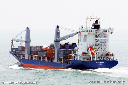
 OCEAN PEACE
Current Status
Where is the vessel?
OCEAN PEACE is currently in Near BACOLOD, based on AIS data received about 1h ago.
Latest AIS update:
Current position: 10.68167° N, 122.89333° E (Near BACOLOD)
Average speed (last 7 days): Loading…
Average speed (last 30 days): Loading…
Vessel profile: OCEAN PEACE is a Container Ship with dimensions m x m.
This page combines live AIS, route history, probable destination signals, nearby traffic, and port activity for practical vessel monitoring.
The current position of vessel OCEAN PEACE is 10.68167 lat / 122.89333 lng. Updated: 2026-05-15 23:23:29 UTCNearest reference points:
- Near BACOLOD
- Near Iloilo
- Near TOLEDO
Currently sailing under the flag of Philippines ![]()
Details:
Live Vessel OCEAN PEACE Analytics (details, animations, etc.)
Recent AIS points (UTC):
2026-05-15 19:47:27 UTC · 10.59333, 122.78333 · SOG 14 kn · COG -1°2026-05-15 22:14:25 UTC · 10.68167, 122.89333 · SOG 0 kn · COG -1°
2026-05-15 22:44:29 UTC · 10.68167, 122.89333 · SOG 0 kn · COG -1°
2026-05-15 23:23:29 UTC · 10.68167, 122.89333 · SOG 0 kn · COG -1°