 vesseltracker.com
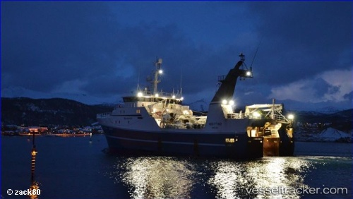
 Vesttind
Current Status
Where is the vessel?
Vesttind is currently in 89 nm W of Snohvit, based on AIS data received less than 1h ago.
Latest AIS update:
Current position: 72.05098° N, 16.87180° E (89 nm W of Snohvit)
Average speed (last 7 days): Loading…
Average speed (last 30 days): Loading…
Vessel profile: Vesttind is a Fishing Vessel with dimensions 60m x 14m.
This page combines live AIS, route history, probable destination signals, nearby traffic, and port activity for practical vessel monitoring.
The current position of vessel Vesttind is 72.05098 lat / 16.87180 lng. Updated: 2026-05-12 21:38:53 UTCNearest reference points:
- 52 nm NW of Ersfjord
- Near SOMMAROY
- Near Tromso
Currently sailing under the flag of Norway ![]()
Vesttind built in 2000 year
Details:
Live Vessel Vesttind Analytics (details, animations, etc.)
Recent AIS points (UTC):
2026-05-12 18:05:11 UTC · 72.26667, 16.53333 · SOG 0 kn · COG -1°2026-05-12 19:24:57 UTC · 72.32428, 16.43727 · SOG 1.3 kn · COG 353°
2026-05-12 19:40:47 UTC · 72.32925, 16.43008 · SOG 1.3 kn · COG 332°
2026-05-12 21:38:53 UTC · 72.05098, 16.87180 · SOG 10.7 kn · COG 154°