 vesseltracker.com
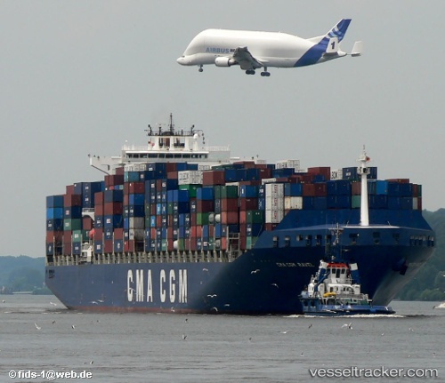
 PORTO CHELI
Current Status
Where is the vessel?
PORTO CHELI is currently in 230 nm S of Port La Tour, based on AIS data received about 2h ago.
Latest AIS update:
Current position: 39.86431° N, 63.81807° W (230 nm S of Port La Tour)
Average speed (last 7 days): Loading…
Average speed (last 30 days): Loading…
Vessel profile: PORTO CHELI is a Container Ship with dimensions 40m x 300m.
This page combines live AIS, route history, probable destination signals, nearby traffic, and port activity for practical vessel monitoring.
The current position of vessel PORTO CHELI is 39.86431 lat / -63.81807 lng. Updated: 2026-05-15 00:44:38 UTCCurrently sailing under the flag of Liberia ![]()
PORTO CHELI built in 2001 year
Deadweight:
79465 tDetails:
Live Vessel PORTO CHELI Analytics (details, animations, etc.)
Recent AIS points (UTC):
2026-05-14 20:08:37 UTC · 40.01995, -62.49392 · SOG 14.6 kn · COG 251°2026-05-14 21:51:29 UTC · 39.95023, -63.01307 · SOG 13.4 kn · COG 254°
2026-05-15 00:10:06 UTC · 39.88525, -63.65641 · SOG 12.9 kn · COG 250°
2026-05-15 00:44:38 UTC · 39.86431, -63.81807 · SOG 13.7 kn · COG 250°