 vesseltracker.com
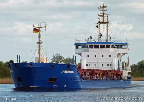
 CEMGULF
Current Status
Where is the vessel?
CEMGULF is currently in Near Holbury, based on AIS data received less than 1h ago.
Latest AIS update:
Current position: 50.38475° N, 1.26086° W (Near Holbury)
Average speed (last 7 days): Loading…
Average speed (last 30 days): Loading…
Vessel profile: CEMGULF is a Cement Carrier with dimensions 100m x 16m.
This page combines live AIS, route history, probable destination signals, nearby traffic, and port activity for practical vessel monitoring.
The current position of vessel CEMGULF is 50.38475 lat / -1.26086 lng. Updated: 2026-05-13 12:02:50 UTCNearest reference points:
- Near Holbury
- 20 nm S of Holbury
- 24 nm N of Fermanville
Currently sailing under the flag of Antigua and Barbuda ![]()
CEMGULF built in 2001 year
Deadweight:
4972 tDetails:
Live Vessel CEMGULF Analytics (details, animations, etc.)
Recent AIS points (UTC):
2026-05-13 06:13:10 UTC · 50.54963, 0.07244 · SOG 7.1 kn · COG 255°2026-05-13 10:22:20 UTC · 50.43469, -0.81187 · SOG 10 kn · COG 259°
2026-05-13 10:46:30 UTC · 50.41952, -0.91965 · SOG 10.7 kn · COG 259°
2026-05-13 12:02:50 UTC · 50.38475, -1.26086 · SOG 9.9 kn · COG 261°