 vesseltracker.com
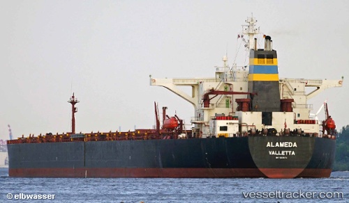
 CAPE LINA
Current Status
Where is the vessel?
CAPE LINA is currently in 17 nm S of Al Mukha, based on AIS data received less than 1h ago.
Latest AIS update:
Current position: 13.05059° N, 43.16376° E (17 nm S of Al Mukha)
Average speed (last 7 days): Loading…
Average speed (last 30 days): Loading…
Vessel profile: CAPE LINA is a Bulk Carrier with dimensions m x m.
This page combines live AIS, route history, probable destination signals, nearby traffic, and port activity for practical vessel monitoring.
The current position of vessel CAPE LINA is 13.05059 lat / 43.16376 lng. Updated: 2026-04-24 14:04:54 UTCNearest reference points:
- Near Djibouti
Currently sailing under the flag of Liberia ![]()
Details:
Live Vessel CAPE LINA Analytics (details, animations, etc.)
Recent AIS points (UTC):
2026-04-24 10:23:51 UTC · 12.43752, 43.80906 · SOG 14.4 kn · COG 291°2026-04-24 12:06:49 UTC · 12.60330, 43.41689 · SOG 15.3 kn · COG 299°
2026-04-24 13:17:07 UTC · 12.85767, 43.25813 · SOG 16.1 kn · COG 335°
2026-04-24 14:04:54 UTC · 13.05059, 43.16376 · SOG 15.6 kn · COG 328°