 vesseltracker.com
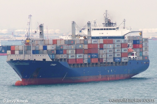
 ALOR 2
Current Status
Where is the vessel?
ALOR 2 is currently in 31 nm SE of Tomtbod, based on AIS data received about 1h ago.
Latest AIS update:
Current position: 56.86171° N, 19.25915° E (31 nm SE of Tomtbod)
Average speed (last 7 days): Loading…
Average speed (last 30 days): Loading…
Vessel profile: ALOR 2 is a Container Ship with dimensions m x m.
This page combines live AIS, route history, probable destination signals, nearby traffic, and port activity for practical vessel monitoring.
The current position of vessel ALOR 2 is 56.86171 lat / 19.25915 lng. Updated: 2026-04-27 23:40:01 UTCNearest reference points:
- 39 nm W of Pilies juru uosto PVP/Klaipeda
- Near Cimdenieki
- 10 nm NW of Svetlogorsk
Currently sailing under the flag of Iran ![]()
Details:
Live Vessel ALOR 2 Analytics (details, animations, etc.)
Recent AIS points (UTC):
2026-04-27 20:14:33 UTC · 57.52850, 19.88704 · SOG 13.2 kn · COG 205°2026-04-27 22:05:51 UTC · 57.16778, 19.53825 · SOG 13 kn · COG 208°
2026-04-27 22:50:32 UTC · 57.02397, 19.40555 · SOG 12.9 kn · COG 206°
2026-04-27 23:40:01 UTC · 56.86171, 19.25915 · SOG 13.1 kn · COG 206°