 vesseltracker.com
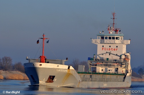
 KAILEEN
Current Status
Where is the vessel?
KAILEEN is currently in 14 nm SE of Stará Voda, based on AIS data received about 1h ago.
Latest AIS update:
Current position: 54.80083° N, 12.78417° E (14 nm SE of Stará Voda)
Average speed (last 7 days): Loading…
Average speed (last 30 days): Loading…
Vessel profile: KAILEEN is a General Cargo Ship with dimensions 112m x 15m.
This page combines live AIS, route history, probable destination signals, nearby traffic, and port activity for practical vessel monitoring.
The current position of vessel KAILEEN is 54.80083 lat / 12.78417 lng. Updated: 2026-05-15 01:15:57 UTCNearest reference points:
- Near Pruchten
- Near Schmedshagen
- Near Rødvig Havn
Currently sailing under the flag of Antigua and Barbuda ![]()
KAILEEN built in 2001 year
Deadweight:
6358 tDetails:
Live Vessel KAILEEN Analytics (details, animations, etc.)
Recent AIS points (UTC):
2026-05-14 22:00:19 UTC · 54.99651, 13.76419 · SOG 10.8 kn · COG 250°2026-05-14 22:35:37 UTC · 54.95891, 13.59009 · SOG 11 kn · COG 252°
2026-05-14 23:54:27 UTC · 54.88106, 13.18927 · SOG 11 kn · COG 250°
2026-05-15 01:15:57 UTC · 54.80083, 12.78417 · SOG 11.1 kn · COG 251°