 vesseltracker.com
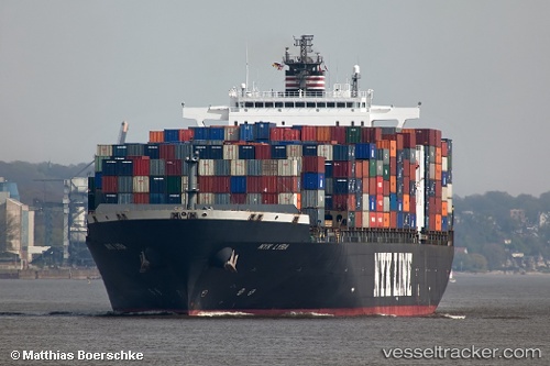
 MYNY
MYNY
Current Status
Where is the vessel?
MYNY is currently in 326 nm SE of Kismaayo, based on AIS data received about 1h ago.
Latest AIS update:
Current position: 4.42501° S, 46.18518° E (326 nm SE of Kismaayo)
Average speed (last 7 days): Loading…
Average speed (last 30 days): Loading…
Vessel profile: MYNY is a Container Ship with dimensions 299m x 40m.
This page combines live AIS, route history, probable destination signals, nearby traffic, and port activity for practical vessel monitoring.
The current position of vessel MYNY is -4.42501 lat / 46.18518 lng. Updated: 2026-05-16 01:15:44 UTCNearest reference points:
- Open sea, approx. 400 nm off the nearest listed port
- Open sea, approx. 401 nm off the nearest listed port
- Open sea, approx. 403 nm off the nearest listed port
Currently sailing under the flag of Liberia ![]()
MYNY built in 2002 year
Deadweight:
78231 tDetails:
Live Vessel MYNY Analytics (details, animations, etc.)
Recent AIS points (UTC):
2026-05-15 21:55:27 UTC · -4.71121, 45.36598 · SOG 11.8 kn · COG 76°2026-05-15 22:01:26 UTC · -4.70477, 45.38501 · SOG 12 kn · COG 76°
2026-05-16 00:09:37 UTC · -4.53011, 45.88976 · SOG 16.9 kn · COG 75°
2026-05-16 01:15:44 UTC · -4.42501, 46.18518 · SOG 17.1 kn · COG 75°