 vesseltracker.com
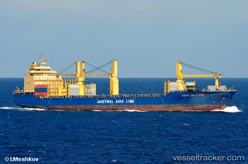
 MARIA FRANCISCA
Current Status
Where is the vessel?
MARIA FRANCISCA is currently in Near Sao Tome and Principe, based on AIS data received less than 1h ago.
Latest AIS update:
Current position: 0.35033° N, 6.77200° E (Near Sao Tome and Principe)
Average speed (last 7 days): Loading…
Average speed (last 30 days): Loading…
Vessel profile: MARIA FRANCISCA is a General Cargo with dimensions m x m.
This page combines live AIS, route history, probable destination signals, nearby traffic, and port activity for practical vessel monitoring.
The current position of vessel MARIA FRANCISCA is 0.35033 lat / 6.77200 lng. Updated: 2026-05-12 21:52:08 UTCNearest reference points:
- Near Cape Lopez
- Near Port Gentil
Currently sailing under the flag of Portugal ![]()
Details:
Live Vessel MARIA FRANCISCA Analytics (details, animations, etc.)
Recent AIS points (UTC):
2026-05-12 17:07:08 UTC · 0.35033, 6.77150 · SOG 0 kn · COG 169°2026-05-12 17:07:08 UTC · 0.35033, 6.77150 · SOG 0 kn · COG 169°
2026-05-12 17:07:08 UTC · 0.35033, 6.77150 · SOG 0 kn · COG 169°
2026-05-12 21:52:08 UTC · 0.35033, 6.77200 · SOG 0.1 kn · COG 180°