 vesseltracker.com
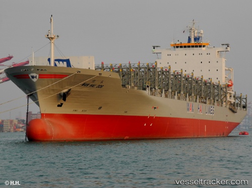
 ZYRA
ZYRA
Current Status
Where is the vessel?
ZYRA is currently in Near Pulau Indah, based on AIS data received about 1h ago.
Latest AIS update:
Current position: 2.77696° N, 101.31008° E (Near Pulau Indah)
Average speed (last 7 days): Loading…
Average speed (last 30 days): Loading…
Vessel profile: ZYRA is a Container Ship with dimensions m x m.
This page combines live AIS, route history, probable destination signals, nearby traffic, and port activity for practical vessel monitoring.
The current position of vessel ZYRA is 2.77696 lat / 101.31008 lng. Updated: 2026-04-25 20:07:38 UTCNearest reference points:
- Near Pulau Indah
- Near Carey Island Estate
- Near Banting
Currently sailing under the flag of Comoros ![]()
Details:
Live Vessel ZYRA Analytics (details, animations, etc.)
Recent AIS points (UTC):
2026-04-25 16:16:38 UTC · 2.77651, 101.31174 · SOG 0 kn · COG 341°2026-04-25 18:13:38 UTC · 2.77661, 101.31173 · SOG 0 kn · COG 343°
2026-04-25 19:04:38 UTC · 2.77674, 101.31161 · SOG 0 kn · COG 349°
2026-04-25 20:07:38 UTC · 2.77696, 101.31008 · SOG 0.1 kn · COG 40°