 vesseltracker.com
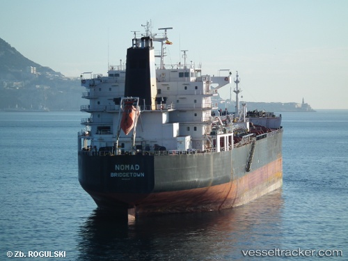
 MANILA I
Current Status
Where is the vessel?
MANILA I is currently in Near City Beach, based on AIS data received less than 1h ago.
Latest AIS update:
Current position: 31.91672° S, 115.65779° E (Near City Beach)
Average speed (last 7 days): Loading…
Average speed (last 30 days): Loading…
Vessel profile: MANILA I is a Oil/Chemical Tanker with dimensions m x m.
This page combines live AIS, route history, probable destination signals, nearby traffic, and port activity for practical vessel monitoring.
The current position of vessel MANILA I is -31.91672 lat / 115.65779 lng. Updated: 2026-05-13 16:04:28 UTCNearest reference points:
- Near ROTTNEST ISLAND
- Near Fremantle
- Near Kwinana
Currently sailing under the flag of Panama ![]()
Details:
Live Vessel MANILA I Analytics (details, animations, etc.)
Recent AIS points (UTC):
2026-05-13 13:34:26 UTC · -31.91693, 115.65777 · SOG 0 kn · COG 244°2026-05-13 14:07:28 UTC · -31.91679, 115.65771 · SOG 0.1 kn · COG 237°
2026-05-13 16:01:27 UTC · -31.91671, 115.65779 · SOG 0 kn · COG 238°
2026-05-13 16:04:28 UTC · -31.91672, 115.65779 · SOG 0.2 kn · COG 241°