 vesseltracker.com
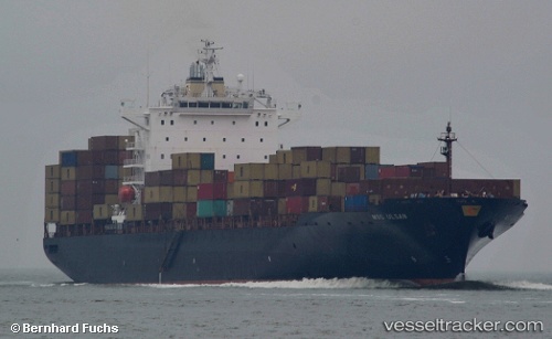
 ULSAN
ULSAN
Current Status
Where is the vessel?
ULSAN is currently in 22 nm NE of Vung Ro, based on AIS data received less than 1h ago.
Latest AIS update:
Current position: 13.16087° N, 109.62845° E (22 nm NE of Vung Ro)
Average speed (last 7 days): Loading…
Average speed (last 30 days): Loading…
Vessel profile: ULSAN is a Container Ship with dimensions m x m.
This page combines live AIS, route history, probable destination signals, nearby traffic, and port activity for practical vessel monitoring.
The current position of vessel ULSAN is 13.16087 lat / 109.62845 lng. Updated: 2026-05-15 19:33:03 UTCNearest reference points:
- 29 nm NE of Vung Ro
- Near Vinh Cam Ranh
- Near Bong Son
Currently sailing under the flag of Liberia ![]()
Details:
Live Vessel ULSAN Analytics (details, animations, etc.)
Recent AIS points (UTC):
2026-05-15 16:59:33 UTC · 13.60340, 109.57518 · SOG 10.4 kn · COG 178°2026-05-15 17:39:34 UTC · 13.48665, 109.58482 · SOG 10.6 kn · COG 170°
2026-05-15 19:05:43 UTC · 13.23705, 109.61117 · SOG 10.1 kn · COG 183°
2026-05-15 19:33:03 UTC · 13.16087, 109.62845 · SOG 10.4 kn · COG 167°