 vesseltracker.com
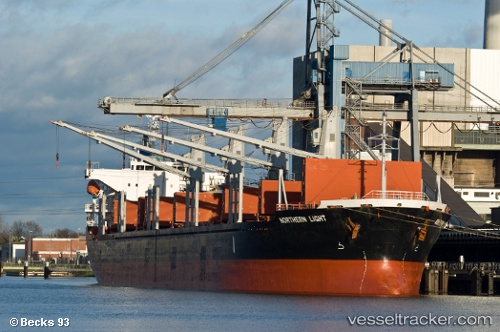
 NORAYA
Current Status
Where is the vessel?
NORAYA is currently in Near Le Kram, based on AIS data received less than 1h ago.
Latest AIS update:
Current position: 36.81007° N, 10.28801° E (Near Le Kram)
Average speed (last 7 days): Loading…
Average speed (last 30 days): Loading…
Vessel profile: NORAYA is a Bulk Carrier with dimensions m x m.
This page combines live AIS, route history, probable destination signals, nearby traffic, and port activity for practical vessel monitoring.
The current position of vessel NORAYA is 36.81007 lat / 10.28801 lng. Updated: 2026-04-24 19:34:58 UTCNearest reference points:
- Near Le Kram
- 13 nm N of Qulaybiyah
- 32 nm N of Qulaybiyah
Currently sailing under the flag of Belize ![]()
Details:
Live Vessel NORAYA Analytics (details, animations, etc.)
Recent AIS points (UTC):
2026-04-24 16:09:29 UTC · 36.81005, 10.28803 · SOG 0 kn · COG 250°2026-04-24 16:16:47 UTC · 36.81007, 10.28802 · SOG 0 kn · COG 254°
2026-04-24 18:03:59 UTC · 36.81007, 10.28800 · SOG 0 kn · COG 250°
2026-04-24 19:34:58 UTC · 36.81007, 10.28801 · SOG 0 kn · COG 258°