 vesseltracker.com
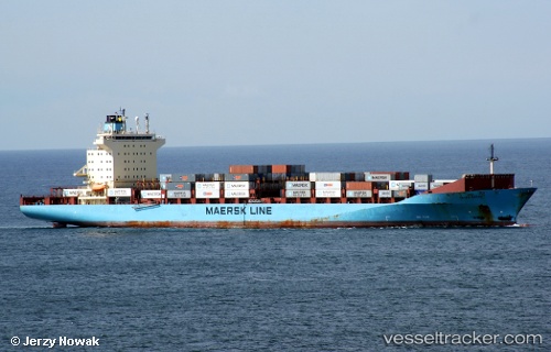
Olivia Maersk
Current StatusWhere is the vessel?
Olivia Maersk is currently in Near Panama, based on AIS data received about 1h ago.
Latest AIS update:
Current position: 8.88247° N, 79.46869° W (Near Panama)
Average speed (last 7 days): Loading…
Average speed (last 30 days): Loading…
Vessel profile: Olivia Maersk is a Container Ship with dimensions 32m x 238m.
This page combines live AIS, route history, probable destination signals, nearby traffic, and port activity for practical vessel monitoring.
The current position of vessel Olivia Maersk is 8.88247 lat / -79.46869 lng. Updated: 2026-05-15 23:51:04 UTCNearest reference points:
- Near Panama
- Near El Chorrillo
- Near Cocoli
Details:
Live Vessel Olivia Maersk Analytics (details, animations, etc.)
Recent AIS points (UTC):
2026-05-15 19:58:58 UTC · 9.01755, -79.61289 · SOG 0 kn · COG 132°2026-05-15 22:01:17 UTC · 8.99474, -79.58938 · SOG 2 kn · COG 136°
2026-05-15 22:28:47 UTC · 8.95426, -79.57104 · SOG 5.7 kn · COG 160°
2026-05-15 23:51:04 UTC · 8.88247, -79.46869 · SOG 0.5 kn · COG 355°