 vesseltracker.com
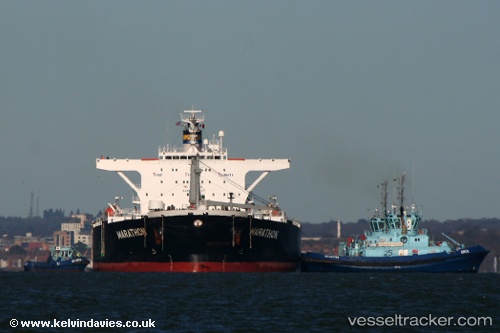
 AKTROS
Current Status
Where is the vessel?
AKTROS is currently in 386 nm SW of Veraval, based on AIS data received about 1h ago.
Latest AIS update:
Current position: 16.95172° N, 65.00220° E (386 nm SW of Veraval)
Average speed (last 7 days): Loading…
Average speed (last 30 days): Loading…
Vessel profile: AKTROS is a Crude Oil Tanker with dimensions m x m.
This page combines live AIS, route history, probable destination signals, nearby traffic, and port activity for practical vessel monitoring.
The current position of vessel AKTROS is 16.95172 lat / 65.00220 lng. Updated: 2026-04-25 21:28:48 UTCNearest reference points:
- Open sea, approx. 402 nm off the nearest listed port
- Open sea, approx. 400 nm off the nearest listed port
- Open sea, approx. 401 nm off the nearest listed port
Currently sailing under the flag of Sierra Leone ![]()
Details:
Live Vessel AKTROS Analytics (details, animations, etc.)
Recent AIS points (UTC):
2026-04-25 18:06:27 UTC · 16.80158, 64.31717 · SOG 11.7 kn · COG 75°2026-04-25 19:41:48 UTC · 16.87270, 64.63565 · SOG 12.1 kn · COG 77°
2026-04-25 20:23:07 UTC · 16.90220, 64.77903 · SOG 12.2 kn · COG 77°
2026-04-25 21:28:48 UTC · 16.95172, 65.00220 · SOG 12.4 kn · COG 76°