 vesseltracker.com
 LOURDES
Current Status
Where is the vessel?
LOURDES is currently in Near Matanzas, based on AIS data received about 8d ago.
Latest AIS update:
Current position: 23.06542° N, 81.53462° W (Near Matanzas)
Average speed (last 7 days): Loading…
Average speed (last 30 days): Loading…
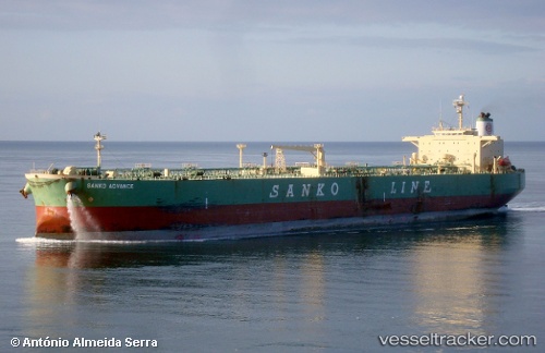
Vessel profile: LOURDES is a Crude Oil Tanker with dimensions 38m x 239m.
This page combines live AIS, route history, probable destination signals, nearby traffic, and port activity for practical vessel monitoring.
The current position of vessel LOURDES is 23.06542 lat / -81.53462 lng. Updated: 2026-05-10 00:38:45 UTCNearest reference points:
- 28 nm NE of VARADERO
- Near ALAMEDA DEL SIBONEY
- Near Mariel
Currently sailing under the flag of Cuba ![]()
LOURDES built in 2002 year
Deadweight:
84999 tDetails:
Live Vessel LOURDES Analytics (details, animations, etc.)
Recent AIS points (UTC):
2026-05-10 00:38:45 UTC · 23.06542, -81.53462 · SOG 0 kn · COG 51°2026-05-10 00:38:45 UTC · 23.06542, -81.53462 · SOG 0 kn · COG 51°
2026-05-10 00:38:45 UTC · 23.06542, -81.53462 · SOG 0 kn · COG 51°
2026-05-10 00:38:45 UTC · 23.06542, -81.53462 · SOG 0 kn · COG 51°