 vesseltracker.com
 PORTO KAGIO
Current Status
Where is the vessel?
PORTO KAGIO is currently in Near MAASVLAKTE - ROTTERDAM, based on AIS data received about 1h ago.
Latest AIS update:
Current position: 51.94958° N, 4.06458° E (Near MAASVLAKTE - ROTTERDAM)
Average speed (last 7 days): Loading…
Average speed (last 30 days): Loading…
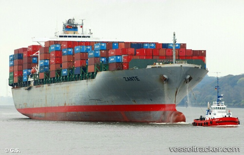
Vessel profile: PORTO KAGIO is a Container Ship with dimensions 40m x 279m.
This page combines live AIS, route history, probable destination signals, nearby traffic, and port activity for practical vessel monitoring.
The current position of vessel PORTO KAGIO is 51.94958 lat / 4.06458 lng. Updated: 2026-05-13 10:49:52 UTCNearest reference points:
- Near MAASVLAKTE - ROTTERDAM
- Near HOEK VAN HOLLAND
- Near Rockanje
Currently sailing under the flag of Liberia ![]()
PORTO KAGIO built in 2002 year
Deadweight:
67164 tDetails:
Live Vessel PORTO KAGIO Analytics (details, animations, etc.)
Recent AIS points (UTC):
2026-05-13 04:05:37 UTC · 51.94963, 4.06453 · SOG 0 kn · COG 257°2026-05-13 05:43:47 UTC · 51.94963, 4.06438 · SOG 0 kn · COG 257°
2026-05-13 09:46:47 UTC · 51.94962, 4.06467 · SOG 0 kn · COG 257°
2026-05-13 10:49:52 UTC · 51.94958, 4.06458 · SOG 0 kn · COG 257°