 vesseltracker.com
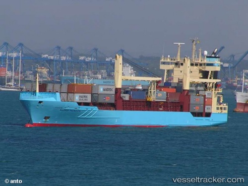
 Falmouth
Current Status
Where is the vessel?
Falmouth is currently in 34 nm NE of ROATAN, based on AIS data received about 1h ago.
Latest AIS update:
Current position: 16.60689° N, 86.00450° W (34 nm NE of ROATAN)
Average speed (last 7 days): Loading…
Average speed (last 30 days): Loading…
Vessel profile: Falmouth is a Container Ship with dimensions 135m x 22m.
This page combines live AIS, route history, probable destination signals, nearby traffic, and port activity for practical vessel monitoring.
The current position of vessel Falmouth is 16.60689 lat / -86.00450 lng. Updated: 2026-05-15 16:19:03 UTCNearest reference points:
- 26 nm SE of Dangriga
- 14 nm SE of Belize
- 14 nm NW of Puerto Cortes
Currently sailing under the flag of Cyprus ![]()
Falmouth built in 2002 year
Deadweight:
11190 tDetails:
Live Vessel Falmouth Analytics (details, animations, etc.)
Recent AIS points (UTC):
2026-05-15 13:48:27 UTC · 16.74698, -85.40985 · SOG 13.7 kn · COG 261°2026-05-15 13:49:49 UTC · 16.74609, -85.41524 · SOG 13.7 kn · COG 261°
2026-05-15 16:05:47 UTC · 16.62074, -85.95244 · SOG 14.3 kn · COG 256°
2026-05-15 16:19:03 UTC · 16.60689, -86.00450 · SOG 13.7 kn · COG 256°