 vesseltracker.com
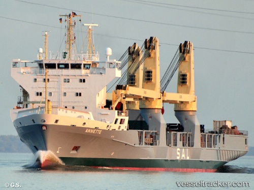
Annette
Current StatusWhere is the vessel?
Annette is currently in 173 nm NW of Port Mathurin, based on AIS data received less than 1h ago.
Latest AIS update:
Current position: 17.59733° S, 61.31042° E (173 nm NW of Port Mathurin)
Average speed (last 7 days): Loading…
Average speed (last 30 days): Loading…
Vessel profile: Annette is a Heavy Load Carrier with dimensions 22m x 151m.
This page combines live AIS, route history, probable destination signals, nearby traffic, and port activity for practical vessel monitoring.
The current position of vessel Annette is -17.59733 lat / 61.31042 lng. Updated: 2026-05-15 13:38:05 UTCNearest reference points:
- 219 nm NW of Port Mathurin
- 106 nm NW of Port Mathurin
- 241 nm N of Port Mathurin
Details:
Live Vessel Annette Analytics (details, animations, etc.)
Recent AIS points (UTC):
2026-05-15 10:12:59 UTC · -18.05681, 60.47097 · SOG 15.3 kn · COG 61°2026-05-15 10:39:28 UTC · -17.99942, 60.57394 · SOG 15.6 kn · COG 60°
2026-05-15 11:27:09 UTC · -17.89489, 60.76277 · SOG 15.9 kn · COG 60°
2026-05-15 13:38:05 UTC · -17.59733, 61.31042 · SOG 16.1 kn · COG 63°