 vesseltracker.com
 Gures
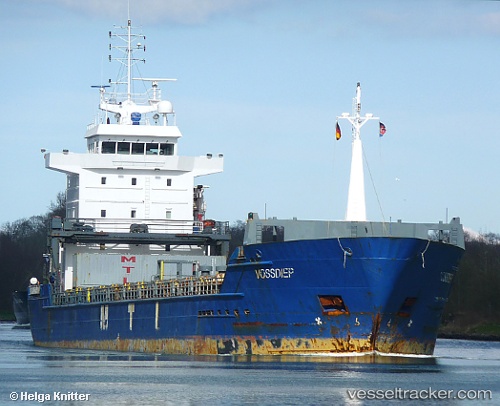
Gures
Current Status
Where is the vessel?
Gures is currently in Near Utsira, based on AIS data received less than 1h ago.
Latest AIS update:
Current position: 59.28463° N, 4.68263° E (Near Utsira)
Average speed (last 7 days): Loading…
Average speed (last 30 days): Loading…
Vessel profile: Gures is a Multi Purpose Carrier with dimensions 118m x 15m.
This page combines live AIS, route history, probable destination signals, nearby traffic, and port activity for practical vessel monitoring.
The current position of vessel Gures is 59.28463 lat / 4.68263 lng. Updated: 2026-05-16 01:27:35 UTCNearest reference points:
- Near Storøya
- Near HUSOYA
- Near SANDVIKVAAG
Currently sailing under the flag of Portugal ![]()
Gures built in 2003 year
Deadweight:
7250 tDetails:
Live Vessel Gures Analytics (details, animations, etc.)
Recent AIS points (UTC):
2026-05-15 21:46:45 UTC · 58.68407, 4.95872 · SOG 10.2 kn · COG 345°2026-05-15 22:11:44 UTC · 58.75372, 4.92521 · SOG 10.3 kn · COG 346°
2026-05-15 23:45:43 UTC · 59.00763, 4.79949 · SOG 9.6 kn · COG 343°
2026-05-16 01:27:35 UTC · 59.28463, 4.68263 · SOG 10.3 kn · COG 15°