 vesseltracker.com
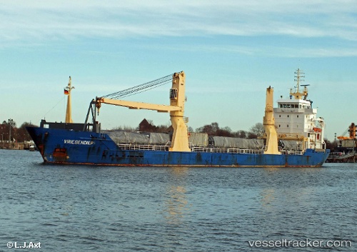
 SMALAND
Current Status
Where is the vessel?
SMALAND is currently in Near PASAJES, based on AIS data received less than 1h ago.
Latest AIS update:
Current position: 43.32333° N, 1.90500° W (Near PASAJES)
Average speed (last 7 days): Loading…
Average speed (last 30 days): Loading…
Vessel profile: SMALAND is a General Cargo Ship with dimensions 119m x 119m.
This page combines live AIS, route history, probable destination signals, nearby traffic, and port activity for practical vessel monitoring.
The current position of vessel SMALAND is 43.32333 lat / -1.90500 lng. Updated: 2026-05-13 12:04:51 UTCNearest reference points:
- Near HENDAYE
- Near Tarnos
- Near ONDARROA
Currently sailing under the flag of Portugal (MAR) ![]()
SMALAND built in 2004 year
Deadweight:
7707 tDetails:
Live Vessel SMALAND Analytics (details, animations, etc.)
Recent AIS points (UTC):
2026-05-13 06:07:41 UTC · 43.32335, -1.90621 · SOG 0 kn · COG 84°2026-05-13 10:19:50 UTC · 43.32333, -1.90500 · SOG 0 kn · COG -1°
2026-05-13 10:43:50 UTC · 43.32333, -1.90500 · SOG 0 kn · COG -1°
2026-05-13 12:04:51 UTC · 43.32333, -1.90500 · SOG 0 kn · COG -1°