 vesseltracker.com
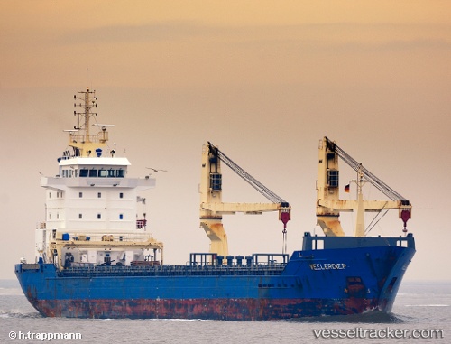
 SAMARA
Current Status
Where is the vessel?
SAMARA is currently in Near Pórto Ráfti (Limín Mesoyaías), based on AIS data received about 1h ago.
Latest AIS update:
Current position: 37.88936° N, 24.01778° E (Near Pórto Ráfti (Limín Mesoyaías))
Average speed (last 7 days): Loading…
Average speed (last 30 days): Loading…
Vessel profile: SAMARA is a General Cargo with dimensions m x m.
This page combines live AIS, route history, probable destination signals, nearby traffic, and port activity for practical vessel monitoring.
The current position of vessel SAMARA is 37.88936 lat / 24.01778 lng. Updated: 2026-05-15 19:26:51 UTCNearest reference points:
- Near LAVRIO
- Near LAVRIO MARINA
- Near Vouliagméni
Currently sailing under the flag of Malta ![]()
Details:
Live Vessel SAMARA Analytics (details, animations, etc.)
Recent AIS points (UTC):
2026-05-15 17:05:51 UTC · 37.88973, 24.01778 · SOG 0.1 kn · COG 190°2026-05-15 18:14:51 UTC · 37.88969, 24.01774 · SOG 0 kn · COG 188°
2026-05-15 19:17:51 UTC · 37.88937, 24.01767 · SOG 0.1 kn · COG 58°
2026-05-15 19:26:51 UTC · 37.88936, 24.01778 · SOG 0.1 kn · COG 10°