 vesseltracker.com
 SWIFT GALAXY
Current Status
Where is the vessel?
SWIFT GALAXY is currently in 31 nm E of Tomtbod, based on AIS data received less than 1h ago.
Latest AIS update:
Current position: 57.09332° N, 19.48373° E (31 nm E of Tomtbod)
Average speed (last 7 days): Loading…
Average speed (last 30 days): Loading…
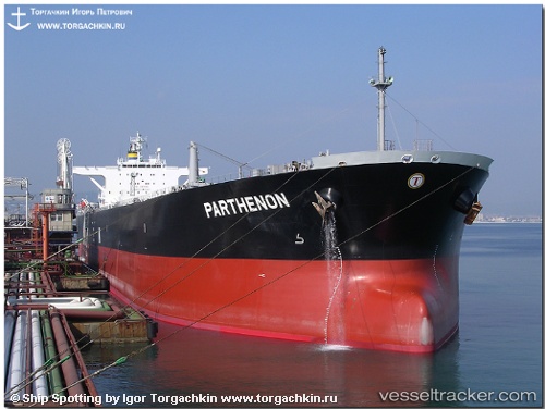
Vessel profile: SWIFT GALAXY is a Crude Oil Tanker with dimensions m x m.
This page combines live AIS, route history, probable destination signals, nearby traffic, and port activity for practical vessel monitoring.
The current position of vessel SWIFT GALAXY is 57.09332 lat / 19.48373 lng. Updated: 2026-04-28 18:20:16 UTCNearest reference points:
- 39 nm W of Pilies juru uosto PVP/Klaipeda
- Near Cimdenieki
- 37 nm W of Vikati Sadam
Currently sailing under the flag of Panama ![]()
Details:
Live Vessel SWIFT GALAXY Analytics (details, animations, etc.)
Recent AIS points (UTC):
2026-04-28 14:14:06 UTC · 57.80390, 20.15467 · SOG 11.6 kn · COG 203°2026-04-28 15:21:56 UTC · 57.60323, 19.98863 · SOG 11.7 kn · COG 207°
2026-04-28 16:47:06 UTC · 57.35703, 19.74833 · SOG 11.7 kn · COG 207°
2026-04-28 18:20:16 UTC · 57.09332, 19.48373 · SOG 11.5 kn · COG 208°