 vesseltracker.com
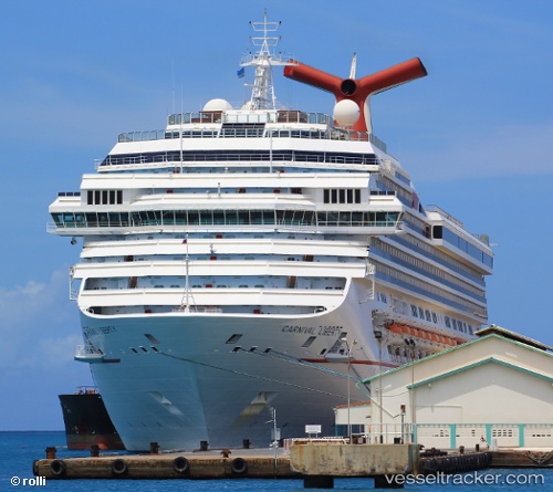
 Carnival Liberty
Current Status
Where is the vessel?
Carnival Liberty is currently in 25 nm SE of Great Harbour Cay, based on AIS data received about 2h ago.
Latest AIS update:
Current position: 25.48174° N, 77.48641° W (25 nm SE of Great Harbour Cay)
Average speed (last 7 days): Loading…
Average speed (last 30 days): Loading…
Vessel profile: Carnival Liberty is a Cruise Ship with dimensions 291m x 291m.
This page combines live AIS, route history, probable destination signals, nearby traffic, and port activity for practical vessel monitoring.
The current position of vessel Carnival Liberty is 25.48174 lat / -77.48641 lng. Updated: 2026-05-14 23:28:31 UTCNearest reference points:
- 27 nm SE of Gorda Cay
- Near Nassau
- Near Lyford Cay
Currently sailing under the flag of Panama ![]()
Carnival Liberty built in 2005 year
Deadweight:
13294 tDetails:
Live Vessel Carnival Liberty Analytics (details, animations, etc.)
Recent AIS points (UTC):
2026-05-14 19:46:02 UTC · 25.08063, -77.34018 · SOG 0 kn · COG 103°2026-05-14 21:49:57 UTC · 25.08099, -77.34258 · SOG 3 kn · COG 102°
2026-05-14 23:08:59 UTC · 25.37803, -77.44716 · SOG 19.9 kn · COG 342°
2026-05-14 23:28:31 UTC · 25.48174, -77.48641 · SOG 20.2 kn · COG 338°