 vesseltracker.com
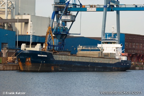
 GT CETUS
Current Status
Where is the vessel?
GT CETUS is currently in 27 nm W of Molengat, based on AIS data received about 1h ago.
Latest AIS update:
Current position: 52.91552° N, 3.92657° E (27 nm W of Molengat)
Average speed (last 7 days): Loading…
Average speed (last 30 days): Loading…
Vessel profile: GT CETUS is a General Cargo with dimensions m x m.
This page combines live AIS, route history, probable destination signals, nearby traffic, and port activity for practical vessel monitoring.
The current position of vessel GT CETUS is 52.91552 lat / 3.92657 lng. Updated: 2026-05-14 17:23:59 UTCNearest reference points:
- 22 nm W of Schoorl
- 23 nm N of de Ruyter
- Near de Ruyter
Currently sailing under the flag of Antigua and Barbuda ![]()
Details:
Live Vessel GT CETUS Analytics (details, animations, etc.)
Recent AIS points (UTC):
2026-05-14 14:09:21 UTC · 53.24671, 4.45600 · SOG 8.1 kn · COG 206°2026-05-14 16:08:03 UTC · 53.04689, 4.15530 · SOG 8.6 kn · COG 229°
2026-05-14 16:18:02 UTC · 53.03054, 4.12600 · SOG 8.6 kn · COG 234°
2026-05-14 17:23:59 UTC · 52.91552, 3.92657 · SOG 9.5 kn · COG 220°