 vesseltracker.com
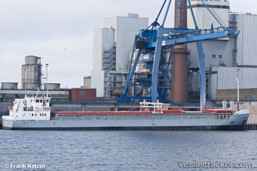
 KREETE
Current Status
Where is the vessel?
KREETE is currently in 25 nm S of Wilga, based on AIS data received less than 1h ago.
Latest AIS update:
Current position: 52.03418° N, 2.39589° E (25 nm S of Wilga)
Average speed (last 7 days): Loading…
Average speed (last 30 days): Loading…
Vessel profile: KREETE is a General Cargo Ship with dimensions 82m x 13m.
This page combines live AIS, route history, probable destination signals, nearby traffic, and port activity for practical vessel monitoring.
The current position of vessel KREETE is 52.03418 lat / 2.39589 lng. Updated: 2026-05-15 04:41:36 UTCNearest reference points:
- 21 nm S of Craven Arms
- Near Craven Arms
- 13 nm NW of Middelkerke
Currently sailing under the flag of Antigua and Barbuda ![]()
KREETE built in 2003 year
Deadweight:
3481 tDetails:
Live Vessel KREETE Analytics (details, animations, etc.)
Recent AIS points (UTC):
2026-05-14 23:58:37 UTC · 52.05275, 3.54948 · SOG 8.5 kn · COG 260°2026-05-15 01:15:47 UTC · 52.04640, 3.24301 · SOG 8.7 kn · COG 261°
2026-05-15 03:48:27 UTC · 52.03748, 2.61273 · SOG 9.1 kn · COG 266°
2026-05-15 04:41:36 UTC · 52.03418, 2.39589 · SOG 8.9 kn · COG 273°