 vesseltracker.com
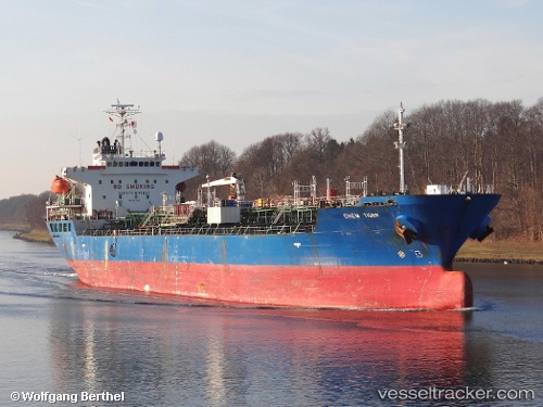
 BEGONIA
Current Status
Where is the vessel?
BEGONIA is currently in 46 nm SE of PENISCOLA, based on AIS data received less than 1h ago.
Latest AIS update:
Current position: 39.97663° N, 1.27551° E (46 nm SE of PENISCOLA)
Average speed (last 7 days): Loading…
Average speed (last 30 days): Loading…
Vessel profile: BEGONIA is a Oil/Chemical Tanker with dimensions m x m.
This page combines live AIS, route history, probable destination signals, nearby traffic, and port activity for practical vessel monitoring.
The current position of vessel BEGONIA is 39.97663 lat / 1.27551 lng. Updated: 2026-05-13 01:23:12 UTCNearest reference points:
- 43 nm SE of PENISCOLA
- 24 nm SW of Sampedor
- 16 nm SW of Sampedor
Currently sailing under the flag of Tuvalu ![]()
Details:
Live Vessel BEGONIA Analytics (details, animations, etc.)
Recent AIS points (UTC):
2026-05-12 21:53:54 UTC · 40.61565, 1.71733 · SOG 12.7 kn · COG 211°2026-05-12 22:26:31 UTC · 40.51667, 1.63833 · SOG 12 kn · COG -1°
2026-05-12 23:20:34 UTC · 40.35167, 1.52833 · SOG 12 kn · COG -1°
2026-05-13 01:23:12 UTC · 39.97663, 1.27551 · SOG 12.4 kn · COG 208°