 vesseltracker.com
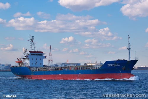
 SNG EMIRA
Current Status
Where is the vessel?
SNG EMIRA is currently in Near Mersin-Free Zone, based on AIS data received about 1h ago.
Latest AIS update:
Current position: 36.80150° N, 34.64766° E (Near Mersin-Free Zone)
Average speed (last 7 days): Loading…
Average speed (last 30 days): Loading…
Vessel profile: SNG EMIRA is a Cargo with dimensions m x m.
This page combines live AIS, route history, probable destination signals, nearby traffic, and port activity for practical vessel monitoring.
The current position of vessel SNG EMIRA is 36.80150 lat / 34.64766 lng. Updated: 2026-04-29 01:35:10 UTCNearest reference points:
- Near Mersin-Free Zone
- Near Mersin
- Near YUMURTALIC
Currently sailing under the flag of Turkey ![]()
Details:
Live Vessel SNG EMIRA Analytics (details, animations, etc.)
Recent AIS points (UTC):
2026-04-28 22:44:08 UTC · 36.80152, 34.64765 · SOG 0 kn · COG 84°2026-04-28 23:29:10 UTC · 36.80151, 34.64764 · SOG 0 kn · COG 85°
2026-04-29 01:23:09 UTC · 36.80150, 34.64764 · SOG 0 kn · COG 84°
2026-04-29 01:35:10 UTC · 36.80150, 34.64766 · SOG 0 kn · COG 85°