 vesseltracker.com
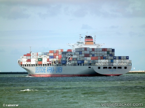
Maersk Launceston
Current StatusWhere is the vessel?
Maersk Launceston is currently in 252 nm NE of White Island, based on AIS data received less than 1h ago.
Latest AIS update:
Current position: 33.88390° S, 179.72412° E (252 nm NE of White Island)
Average speed (last 7 days): Loading…
Average speed (last 30 days): Loading…
Vessel profile: Maersk Launceston is a Container Ship with dimensions 38m x 266m.
This page combines live AIS, route history, probable destination signals, nearby traffic, and port activity for practical vessel monitoring.
The current position of vessel Maersk Launceston is -33.88390 lat / 179.72412 lng. Updated: 2026-05-14 23:26:54 UTCNearest reference points:
- 125 nm NE of TRYPHENA
Details:
Live Vessel Maersk Launceston Analytics (details, animations, etc.)
Recent AIS points (UTC):
2026-05-14 20:05:30 UTC · -34.30508, 178.68517 · SOG 17.5 kn · COG 44°2026-05-14 22:08:13 UTC · -34.01792, 179.29657 · SOG 17.2 kn · COG 70°
2026-05-14 22:11:19 UTC · -34.01255, 179.31319 · SOG 17.3 kn · COG 70°
2026-05-14 23:26:54 UTC · -33.88390, 179.72412 · SOG 17.1 kn · COG 69°