 vesseltracker.com
 MS FARM
Current Status
Where is the vessel?
MS FARM is currently in 85 nm NE of Ny-Ålesund, based on AIS data received about 10h ago.
Latest AIS update:
Current position: 80.08270° N, 16.50035° E (85 nm NE of Ny-Ålesund)
Average speed (last 7 days): Loading…
Average speed (last 30 days): Loading…
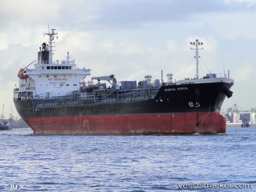
Vessel profile: MS FARM is a Oil/Chemical Tanker with dimensions m x m.
This page combines live AIS, route history, probable destination signals, nearby traffic, and port activity for practical vessel monitoring.
The current position of vessel MS FARM is 80.08270 lat / 16.50035 lng. Updated: 2026-05-12 10:53:11 UTCNearest reference points:
- Near Longyearbyen
Currently sailing under the flag of Dominica ![]()
Details:
Live Vessel MS FARM Analytics (details, animations, etc.)
Recent AIS points (UTC):
2026-05-12 10:53:11 UTC · 80.08270, 16.50035 · SOG 4.3 kn · COG -1°2026-05-12 10:53:11 UTC · 80.08270, 16.50035 · SOG 4.3 kn · COG -1°
2026-05-12 10:53:11 UTC · 80.08270, 16.50035 · SOG 4.3 kn · COG -1°
2026-05-12 10:53:11 UTC · 80.08270, 16.50035 · SOG 4.3 kn · COG -1°