 vesseltracker.com
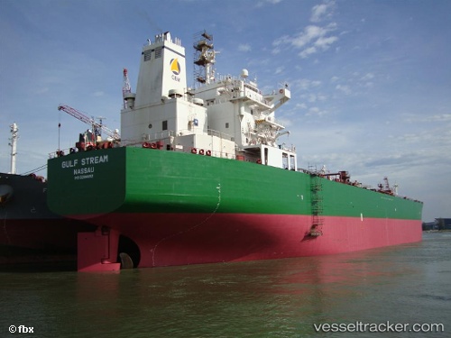
 MULE
MULE
Current Status
Where is the vessel?
MULE is currently in 52 nm NE of PENGERANG, based on AIS data received about 1h ago.
Latest AIS update:
Current position: 1.95407° N, 104.76163° E (52 nm NE of PENGERANG)
Average speed (last 7 days): Loading…
Average speed (last 30 days): Loading…
Vessel profile: MULE is a Oil Products Tanker with dimensions 227m x 32m.
This page combines live AIS, route history, probable destination signals, nearby traffic, and port activity for practical vessel monitoring.
The current position of vessel MULE is 1.95407 lat / 104.76163 lng. Updated: 2026-05-15 19:32:57 UTCNearest reference points:
- 51 nm NE of PENGERANG
- 55 nm NE of PENGERANG
- 53 nm NE of PENGERANG
Currently sailing under the flag of Barbados ![]()
MULE built in 2005 year
Deadweight:
74999 tDetails:
Live Vessel MULE Analytics (details, animations, etc.)
Recent AIS points (UTC):
2026-05-15 16:56:57 UTC · 1.95348, 104.76167 · SOG 0 kn · COG 263°2026-05-15 17:35:57 UTC · 1.95380, 104.76175 · SOG 0 kn · COG 258°
2026-05-15 19:02:56 UTC · 1.95413, 104.76163 · SOG 0 kn · COG 252°
2026-05-15 19:32:57 UTC · 1.95407, 104.76163 · SOG 0 kn · COG 252°