 vesseltracker.com
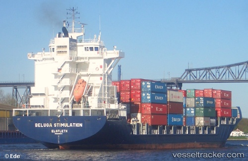
 Martha A
Current Status
Where is the vessel?
Martha A is currently in 139 nm W of Raigad, based on AIS data received less than 1h ago.
Latest AIS update:
Current position: 18.07270° N, 70.51028° E (139 nm W of Raigad)
Average speed (last 7 days): Loading…
Average speed (last 30 days): Loading…
Vessel profile: Martha A is a Container Ship with dimensions 207m x 30m.
This page combines live AIS, route history, probable destination signals, nearby traffic, and port activity for practical vessel monitoring.
The current position of vessel Martha A is 18.07270 lat / 70.51028 lng. Updated: 2026-04-01 13:35:49 UTCNearest reference points:
- 236 nm SW of Veraval
- 33 nm S of Mul Dwårka
- Near Mumbai
Currently sailing under the flag of Turkey ![]()
Martha A built in 2005 year
Deadweight:
33796 tDetails:
Live Vessel Martha A Analytics (details, animations, etc.)
Recent AIS points (UTC):
2026-04-01 08:03:08 UTC · 18.01812, 70.72677 · SOG 0.9 kn · COG 44°2026-04-01 09:30:37 UTC · 18.01455, 70.73070 · SOG 0.5 kn · COG 236°
2026-04-01 12:22:28 UTC · 18.08023, 70.49933 · SOG 0.5 kn · COG 58°
2026-04-01 13:35:49 UTC · 18.07270, 70.51028 · SOG 0.5 kn · COG 34°