 vesseltracker.com
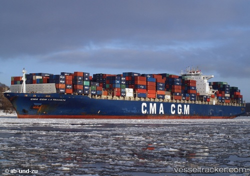
 CMA CGM LA TRAVIATA
Current Status
Where is the vessel?
CMA CGM LA TRAVIATA is currently in Near BUSAN NEW PORT, based on AIS data received less than 1h ago.
Latest AIS update:
Current position: 35.06731° N, 128.80740° E (Near BUSAN NEW PORT)
Average speed (last 7 days): Loading…
Average speed (last 30 days): Loading…
Vessel profile: CMA CGM LA TRAVIATA is a Container Ship with dimensions m x m.
This page combines live AIS, route history, probable destination signals, nearby traffic, and port activity for practical vessel monitoring.
The current position of vessel CMA CGM LA TRAVIATA is 35.06731 lat / 128.80740 lng. Updated: 2026-05-18 01:41:24 UTCNearest reference points:
- Near BUSAN NEW PORT
- Near Jinhae
- Near Gamcheon/Busan
Currently sailing under the flag of Malta ![]()
Details:
Live Vessel CMA CGM LA TRAVIATA Analytics (details, animations, etc.)
Recent AIS points (UTC):
2026-05-17 23:02:23 UTC · 35.06730, 128.80739 · SOG 0 kn · COG 78°2026-05-17 23:41:24 UTC · 35.06732, 128.80739 · SOG 0 kn · COG 78°
2026-05-18 01:38:25 UTC · 35.06731, 128.80740 · SOG 0 kn · COG 78°
2026-05-18 01:41:24 UTC · 35.06731, 128.80740 · SOG 0 kn · COG 78°