 vesseltracker.com
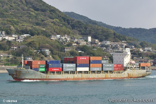
 HARBOUR ADVENTURE
Current Status
Where is the vessel?
HARBOUR ADVENTURE is currently in Near Kota Kinabalu, based on AIS data received about 3h ago.
Latest AIS update:
Current position: 6.03730° N, 116.07337° E (Near Kota Kinabalu)
Average speed (last 7 days): Loading…
Average speed (last 30 days): Loading…
Vessel profile: HARBOUR ADVENTURE is a Container Ship with dimensions m x m.
This page combines live AIS, route history, probable destination signals, nearby traffic, and port activity for practical vessel monitoring.
The current position of vessel HARBOUR ADVENTURE is 6.03730 lat / 116.07337 lng. Updated: 2026-05-14 23:37:17 UTCNearest reference points:
- Near Kota Kinabalu
- 44 nm SW of Tembungo
- Near Kikeh
Currently sailing under the flag of Malaysia ![]()
Details:
Live Vessel HARBOUR ADVENTURE Analytics (details, animations, etc.)
Recent AIS points (UTC):
2026-05-14 20:07:16 UTC · 6.03730, 116.07337 · SOG 0.1 kn · COG 143°2026-05-14 22:01:16 UTC · 6.03722, 116.07332 · SOG 0 kn · COG 139°
2026-05-14 22:25:15 UTC · 6.03732, 116.07335 · SOG 0 kn · COG 142°
2026-05-14 23:37:17 UTC · 6.03730, 116.07337 · SOG 0 kn · COG 143°