 vesseltracker.com
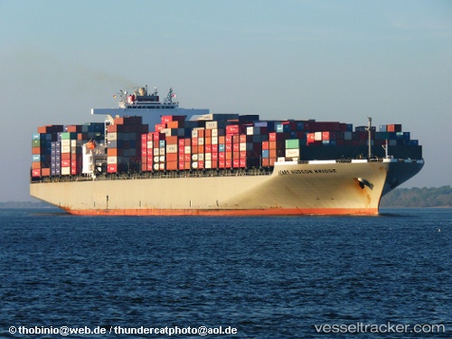
 Henry Hudson
Current Status
Where is the vessel?
Henry Hudson is currently in 145 nm N of Caleta de Sebo, based on AIS data received about 1h ago.
Latest AIS update:
Current position: 31.63333° N, 13.83167° W (145 nm N of Caleta de Sebo)
Average speed (last 7 days): Loading…
Average speed (last 30 days): Loading…
Vessel profile: Henry Hudson is a Container Ship with dimensions 336m x 46m.
This page combines live AIS, route history, probable destination signals, nearby traffic, and port activity for practical vessel monitoring.
The current position of vessel Henry Hudson is 31.63333 lat / -13.83167 lng. Updated: 2026-05-16 03:25:32 UTCNearest reference points:
- 148 nm SE of Porto Santo Island
- 83 nm N of Caleta de Sebo
- 109 nm E of Porto Santo Island
Currently sailing under the flag of Panama ![]()
Henry Hudson built in 2008 year
Deadweight:
98849 tDetails:
Live Vessel Henry Hudson Analytics (details, animations, etc.)
Recent AIS points (UTC):
2026-05-15 23:42:27 UTC · 30.62676, -14.14336 · SOG 17 kn · COG 13°2026-05-16 01:52:31 UTC · 31.21667, -13.96500 · SOG 16 kn · COG -1°
2026-05-16 02:28:31 UTC · 31.37833, -13.91500 · SOG 16 kn · COG -1°
2026-05-16 03:25:32 UTC · 31.63333, -13.83167 · SOG 16 kn · COG -1°