 vesseltracker.com
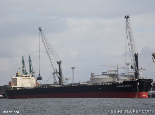
 CRATER
Current Status
Where is the vessel?
CRATER is currently in 14 nm SW of Kefalos Ko, based on AIS data received less than 1h ago.
Latest AIS update:
Current position: 36.55838° N, 26.78210° E (14 nm SW of Kefalos Ko)
Average speed (last 7 days): Loading…
Average speed (last 30 days): Loading…
Vessel profile: CRATER is a Bulk Carrier with dimensions m x m.
This page combines live AIS, route history, probable destination signals, nearby traffic, and port activity for practical vessel monitoring.
The current position of vessel CRATER is 36.55838 lat / 26.78210 lng. Updated: 2026-05-02 10:22:28 UTCNearest reference points:
- Near KALYMNOS
- 20 nm S of Astypálaia
- Near KOS
Currently sailing under the flag of Liberia ![]()
Details:
Live Vessel CRATER Analytics (details, animations, etc.)
Recent AIS points (UTC):
2026-05-02 05:57:18 UTC · 37.20880, 26.31262 · SOG 10.2 kn · COG 119°2026-05-02 07:09:28 UTC · 37.10065, 26.53408 · SOG 10.7 kn · COG 124°
2026-05-02 08:05:18 UTC · 36.95765, 26.62397 · SOG 10.8 kn · COG 158°
2026-05-02 10:22:28 UTC · 36.55838, 26.78210 · SOG 11.1 kn · COG 162°