 vesseltracker.com
 CINDY
CINDY
Current Status
Where is the vessel?
CINDY is currently in 42 nm W of Komiza, based on AIS data received less than 1h ago.
Latest AIS update:
Current position: 42.86468° N, 15.15037° E (42 nm W of Komiza)
Average speed (last 7 days): Loading…
Average speed (last 30 days): Loading…
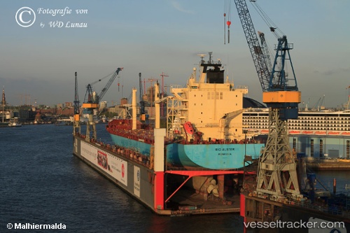
Vessel profile: CINDY is a Container Ship with dimensions 211m x 30m.
This page combines live AIS, route history, probable destination signals, nearby traffic, and port activity for practical vessel monitoring.
The current position of vessel CINDY is 42.86468 lat / 15.15037 lng. Updated: 2026-05-15 23:43:12 UTCNearest reference points:
- 26 nm N of Isole Tremiti
- Near TERMOLI
- 19 nm E of Pedaso
Currently sailing under the flag of Liberia ![]()
CINDY built in 2004 year
Deadweight:
34884 tDetails:
Live Vessel CINDY Analytics (details, animations, etc.)
Recent AIS points (UTC):
2026-05-15 19:53:05 UTC · 43.39898, 14.24384 · SOG 13.6 kn · COG 128°2026-05-15 21:42:24 UTC · 43.14176, 14.67528 · SOG 13.2 kn · COG 124°
2026-05-15 22:05:24 UTC · 43.08667, 14.76500 · SOG 13 kn · COG -1°
2026-05-15 23:43:12 UTC · 42.86468, 15.15037 · SOG 13.3 kn · COG 133°