 vesseltracker.com
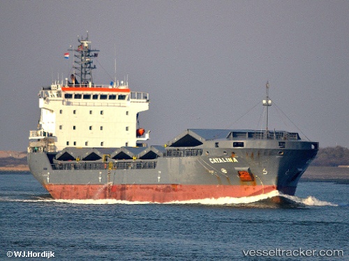
 SEVEN AMARANTA
Current Status
Where is the vessel?
SEVEN AMARANTA is currently in Near PORT DE BOUC, based on AIS data received about 1h ago.
Latest AIS update:
Current position: 43.39384° N, 4.96892° E (Near PORT DE BOUC)
Average speed (last 7 days): Loading…
Average speed (last 30 days): Loading…
Vessel profile: SEVEN AMARANTA is a General Cargo with dimensions m x m.
This page combines live AIS, route history, probable destination signals, nearby traffic, and port activity for practical vessel monitoring.
The current position of vessel SEVEN AMARANTA is 43.39384 lat / 4.96892 lng. Updated: 2026-05-18 05:26:10 UTCNearest reference points:
- Near Fos-sur-Mer
- Near SAINT LOUIS DU RHONE
- Near Marseille
Currently sailing under the flag of Italy ![]()
Details:
Live Vessel SEVEN AMARANTA Analytics (details, animations, etc.)
Recent AIS points (UTC):
2026-05-18 02:11:10 UTC · 43.39511, 4.97054 · SOG 0.1 kn · COG 276°2026-05-18 03:38:12 UTC · 43.39538, 4.97057 · SOG 0 kn · COG 247°
2026-05-18 04:47:09 UTC · 43.39413, 4.96896 · SOG 0.1 kn · COG 8°
2026-05-18 05:26:10 UTC · 43.39384, 4.96892 · SOG 0.1 kn · COG 355°