 vesseltracker.com
 Jeju Island
Current Status
Where is the vessel?
Jeju Island is currently in 25 nm NE of Colomadu, based on AIS data received about 1h ago.
Latest AIS update:
Current position: 7.82550° N, 111.04699° E (25 nm NE of Colomadu)
Average speed (last 7 days): Loading…
Average speed (last 30 days): Loading…
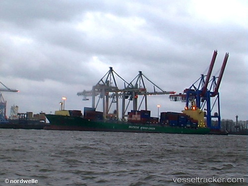
Vessel profile: Jeju Island is a Container Ship with dimensions 222m x 30m.
This page combines live AIS, route history, probable destination signals, nearby traffic, and port activity for practical vessel monitoring.
The current position of vessel Jeju Island is 7.82550 lat / 111.04699 lng. Updated: 2026-04-27 19:58:01 UTCNearest reference points:
- 41 nm NW of Brebes
- 156 nm SE of Phan Rang-Tháp Chàm
- 142 nm N of Pulau Lang Lang
Currently sailing under the flag of Marshall Is ![]()
Jeju Island built in 2006 year
Deadweight:
37882 tDetails:
Live Vessel Jeju Island Analytics (details, animations, etc.)
Recent AIS points (UTC):
2026-04-27 14:49:31 UTC · 6.84256, 110.69148 · SOG 11 kn · COG 28°2026-04-27 18:07:32 UTC · 7.46736, 110.93396 · SOG 12 kn · COG 18°
2026-04-27 18:45:22 UTC · 7.59106, 110.97411 · SOG 12 kn · COG 18°
2026-04-27 19:58:01 UTC · 7.82550, 111.04699 · SOG 12 kn · COG 18°